Drones are becoming standard on modern construction sites.
They solve several problems at once — from accurate progress tracking to reducing risks and disputes with contractors.
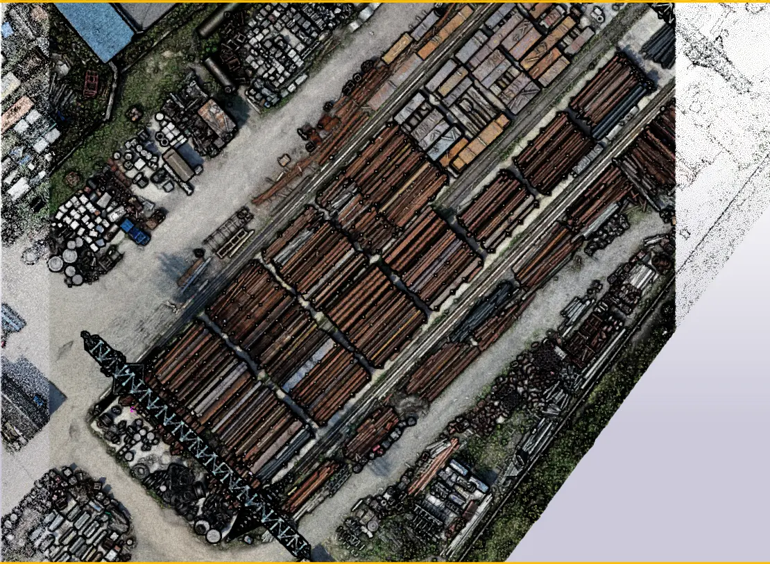
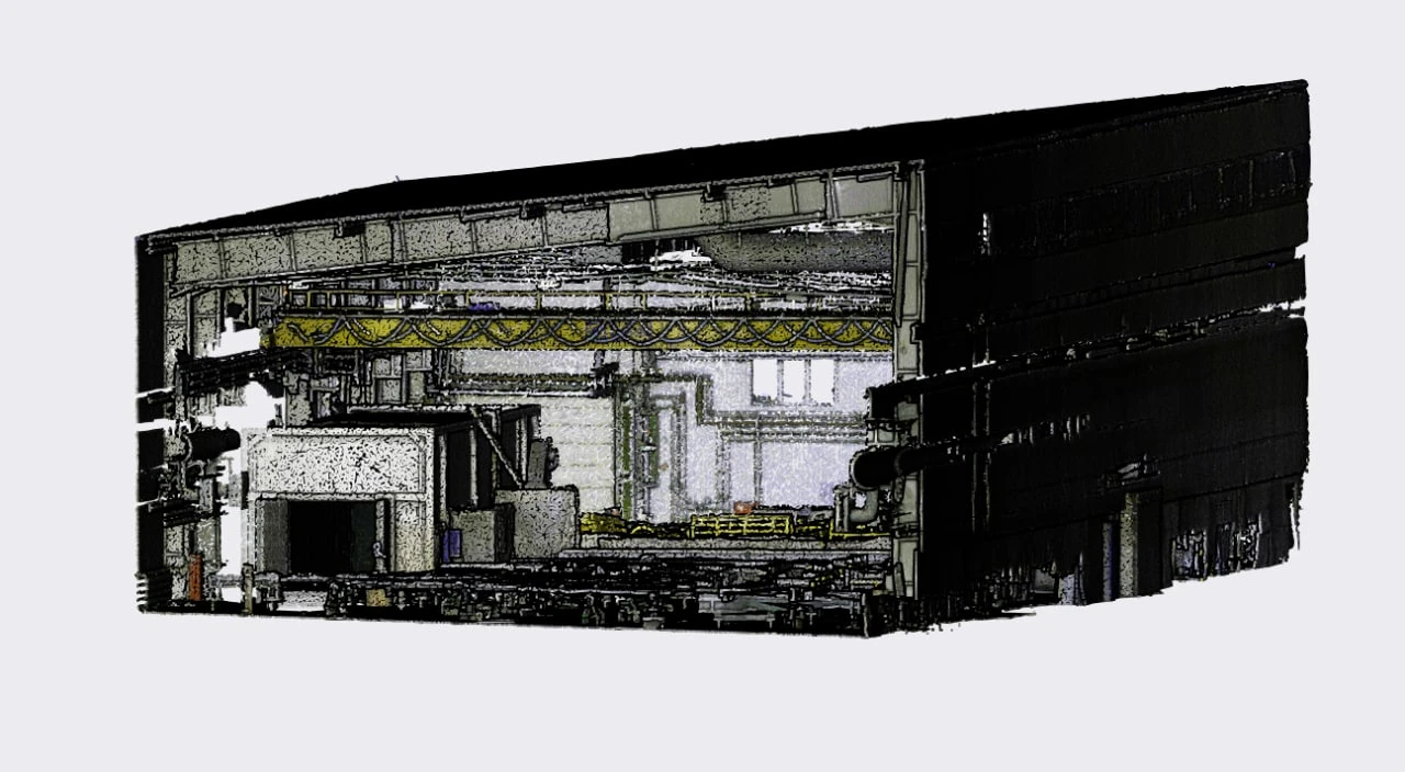
Recently we analyzed a real case where drones were used to detect on-site deviations early and compare them with the design model. This wasn’t a pilot — it's an established workflow used by major developers.
Where drones bring the most value today:
1. Weekly flights → photo map + 3D model
Data is directly compared with BIM/design models to automatically generate a list of deviations. Inspections become faster and more consistent.
2. Volumes and earthworks
Quick, verifiable calculation of cut/fill, stockpiles, and progress percentages — reducing acceptance disputes.
3. Safety and HSE
AI analyzes aerial photos and video to detect safety risks and generate reports — no need to manually review hundreds of images.
4. Communication and reporting.
A single, reliable source of truth with progress metrics, notes, and tasks — less subjectivity, more data-driven decisions.
Why adoption is easier now?
Ready-to-use solutions make aerial mapping accessible: even non-surveyors can fly safely, generate point clouds quickly, and share results with the team.
How to start (short checklist):
-
Clear flight rules and responsibilities (flight area, data storage).
-
Control points for stable reporting accuracy.
-
Integration with your ecosystem: CDE/BIM and task tracker.
-
Reporting workflow: recipients, frequency, escalation.
Bottom line: drones bring speed, clarity, and transparency.
When progress and risks are visible through data — not opinion — rework decreases, disputes drop, and projects become easier to manage.
At Apibim, we help teams build systematic drone workflows: from BIM control processes to standards and integrations, turning drone data into clear tasks, reports, and decisions.
Do you already use drones in your construction workflow? What worked best for you — progress tracking, volumes, or safety?